-
Conferences
Conferences
SAH Annual International Conferences bring members together for scholarly exchange and networking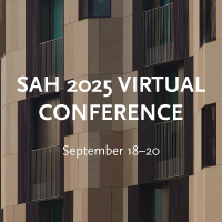
-
Publications
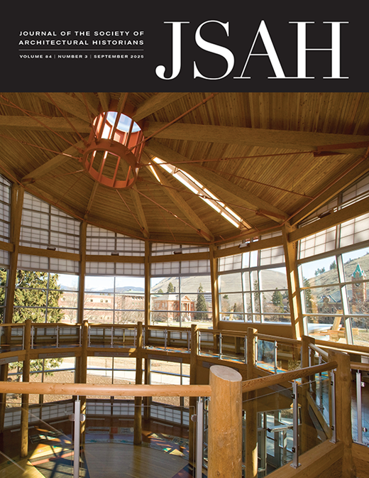
Publications
Through print and digital publications, SAH documents the history of the built environment and disseminates scholarshipLatest Issue:
-
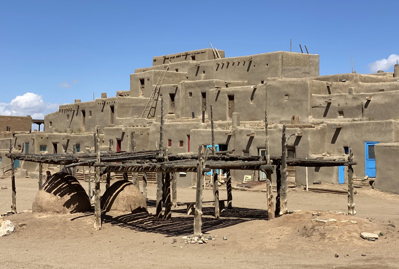
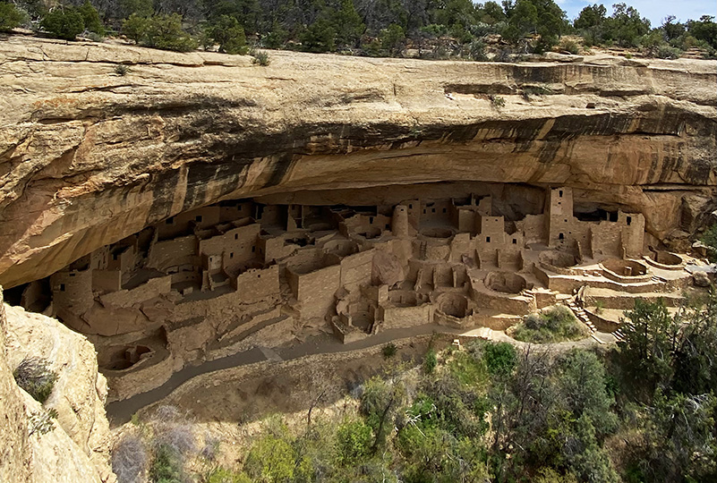
About
About
SAH promotes the study, interpretation, and conservation of the built environment worldwide for the benefit of all