-
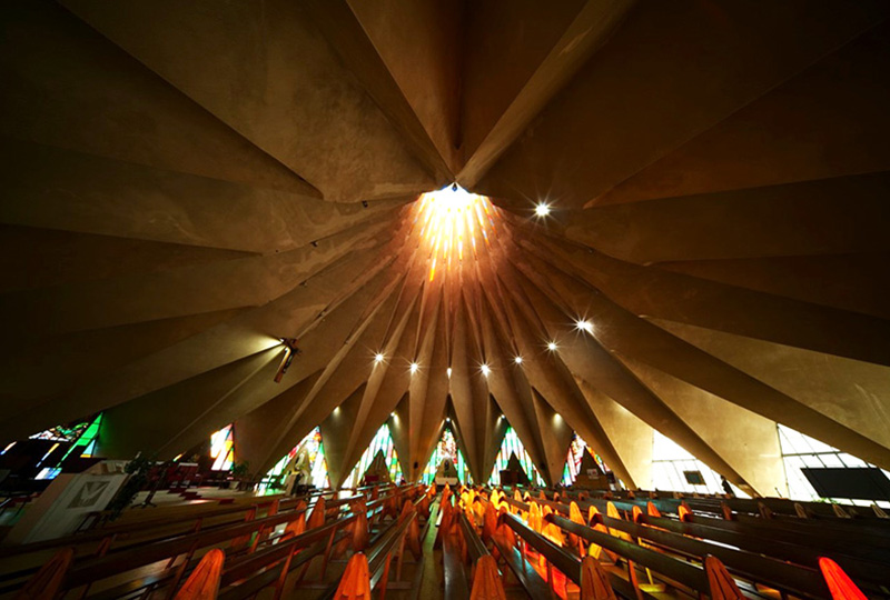
Membership
Membership
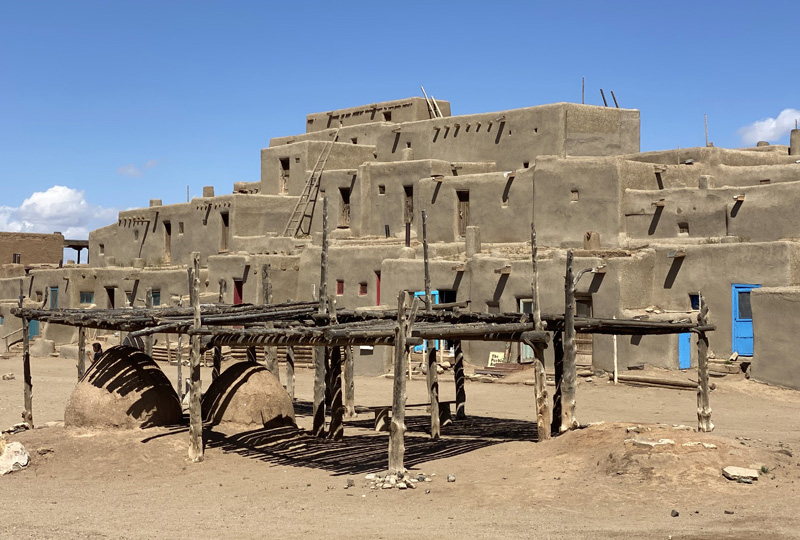
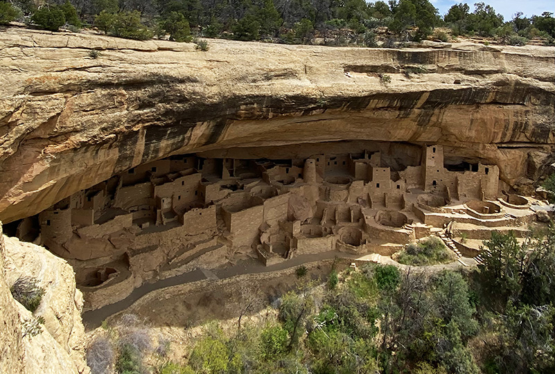
Anyone with an interest in the history of the built environment is welcome to join the Society of Architectural Historians -
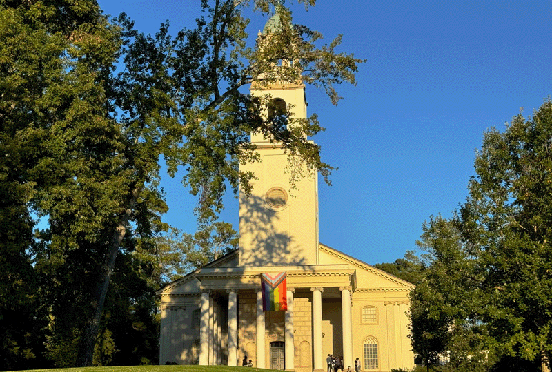
Conferences
Conferences
SAH Annual International Conferences bring members together for scholarly exchange and networking
-
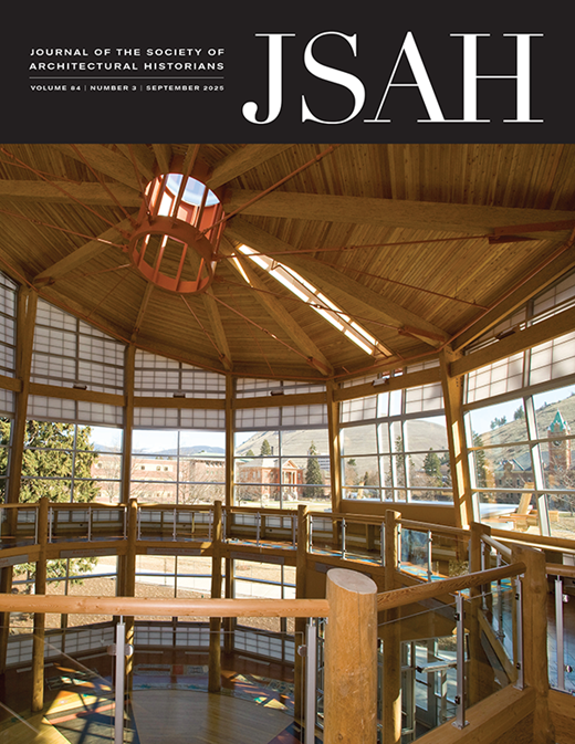
Publications
Publications
Through print and digital publications, SAH documents the history of the built environment and disseminates scholarshipLatest Issue:
-
Programs
Programs
SAH promotes meaningful engagement with the history of the built environment through its programs -
Jobs & Opportunities
Jobs & Opportunities
SAH provides resources, fellowships, and grants to help further your career and professional life -
Support
Support
We invite you to support the educational mission of SAH by making a gift, becoming a member, or volunteering -
About
About
SAH promotes the study, interpretation, and conservation of the built environment worldwide for the benefit of all