-
Conferences
Conferences
SAH Annual International Conferences bring members together for scholarly exchange and networking
-
Publications
Publications
Through print and digital publications, SAH documents the history of the built environment and disseminates scholarshipLatest Issue:
-
About
About
SAH promotes the study, interpretation, and conservation of the built environment worldwide for the benefit of all

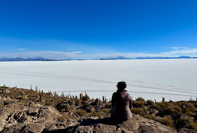
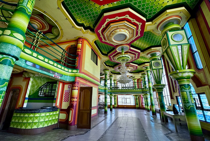
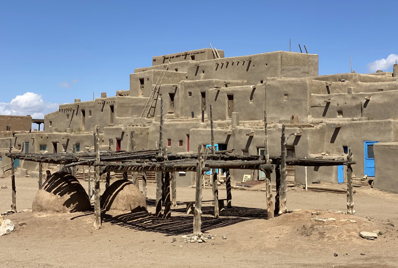
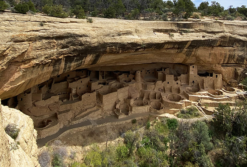
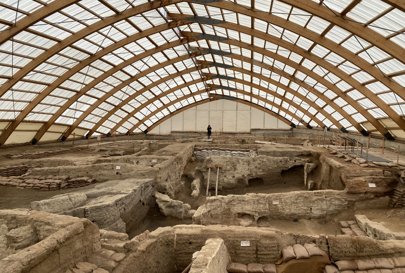
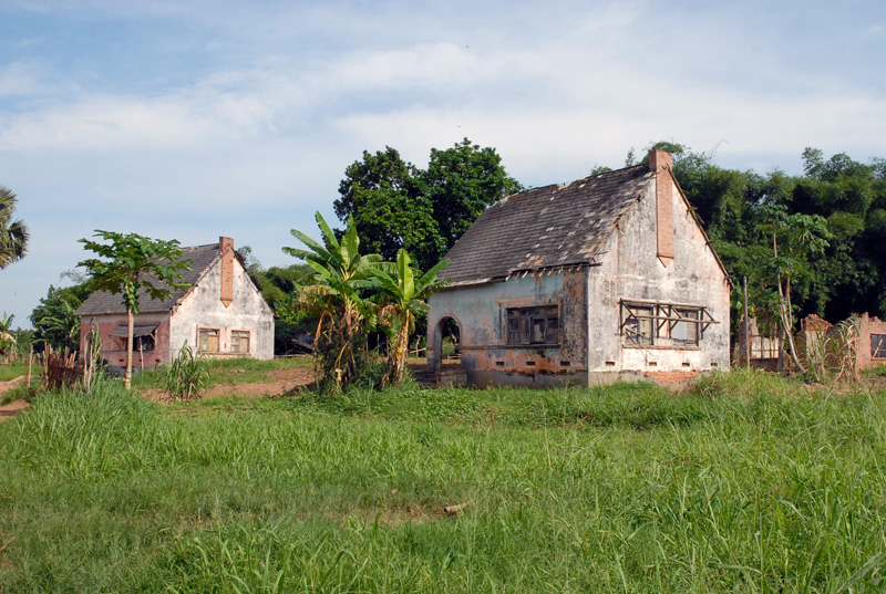
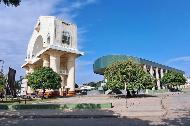
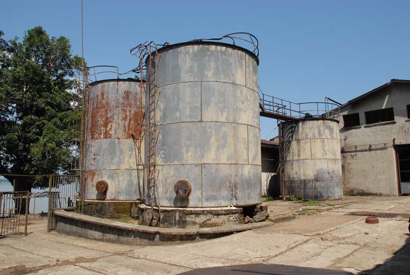
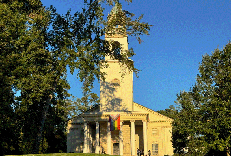
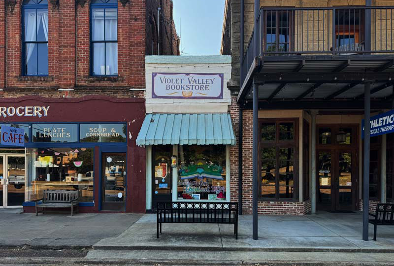
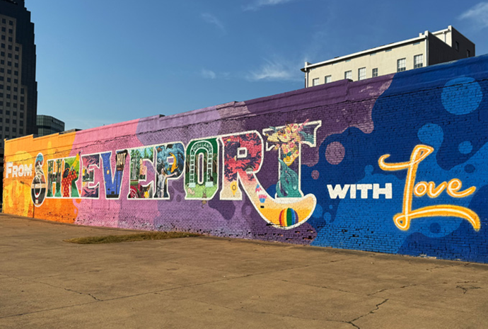
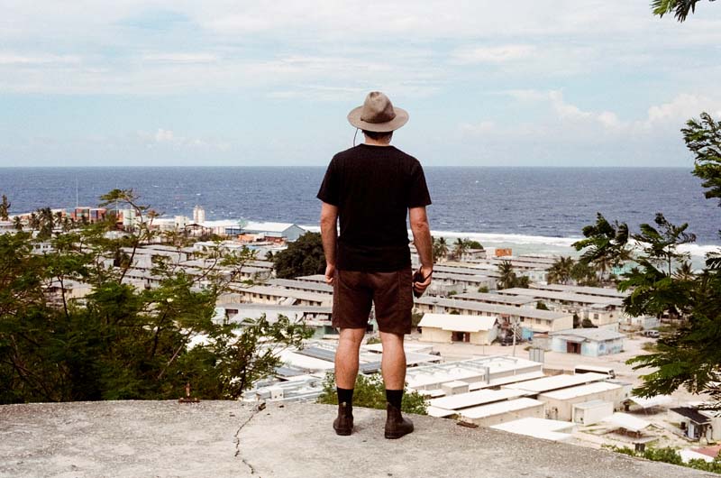
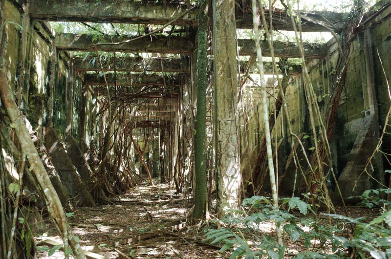
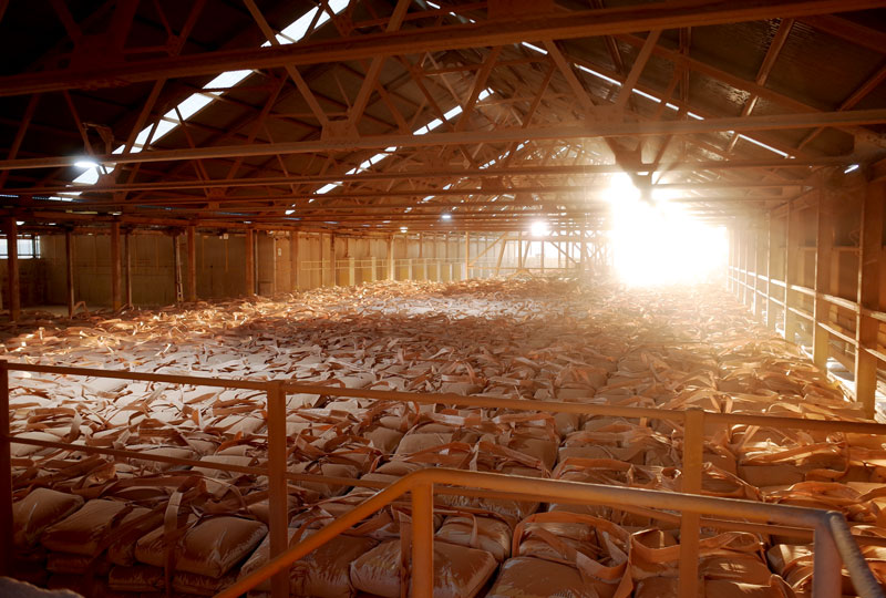
The prestigious H. Allen Brooks Travelling Fellowship allows a recent graduate or emerging scholar to study by travel for one year while observing, reading, writing, or sketching. Fellowship recipients are required to document their travels through monthly posts on the SAH Blog.
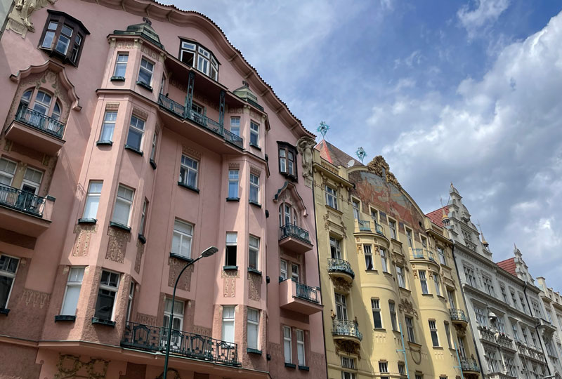
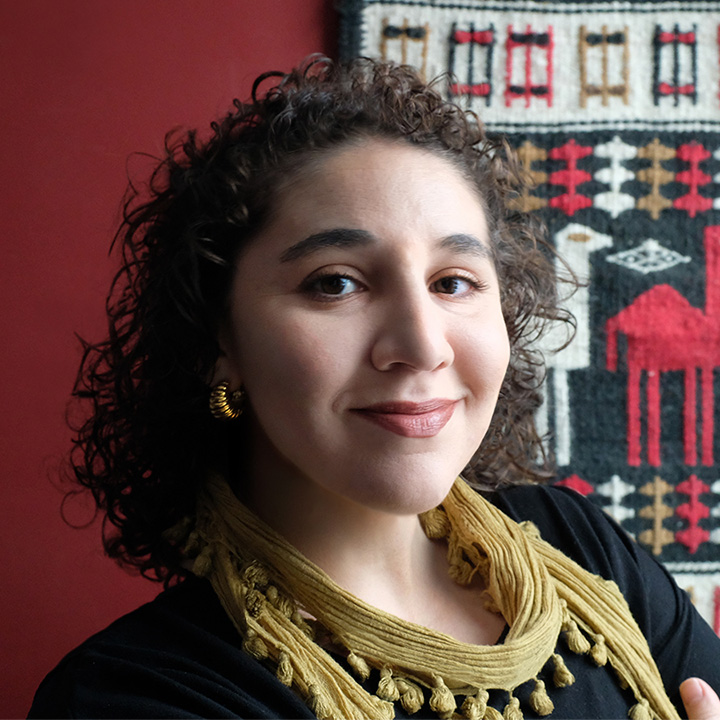
2025 Amalie Elfallah
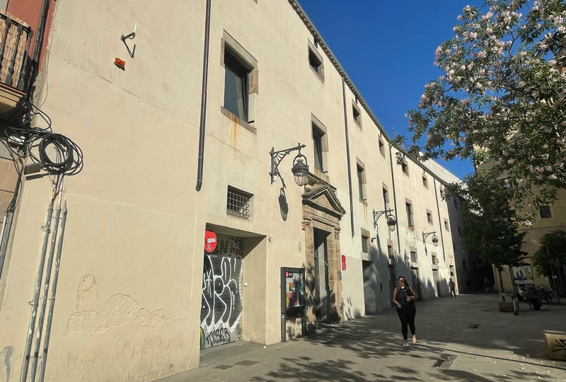
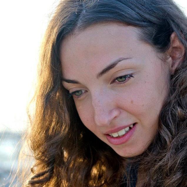
2025 Francesca Sisci
2024 Michele Tenzon
2024 Stathis G. Yeros
2023 Jasper Ludewig
2023 Annie Schentag
2022 Anne Delano Steinert
2022 Adil Mansure
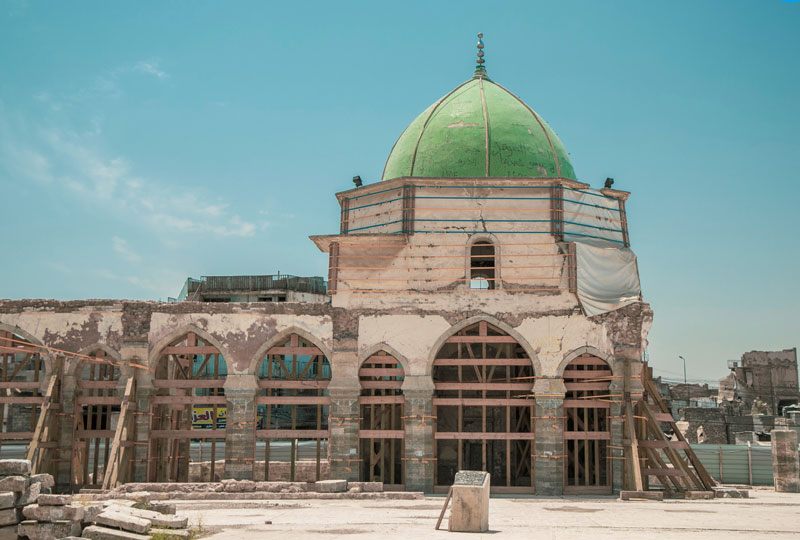
2019 Sundus Al-Bayati
2018 Aymar Mariño-Maza
2018 Zachary J. Violette
2017 Sarah Rovang
2016 Adeyemi Akande
2015 Danielle S. Willkens
2014 Patricia Blessing
2013 Amber N. Wiley


-800x540.jpg?sfvrsn=ec862c9b_2)